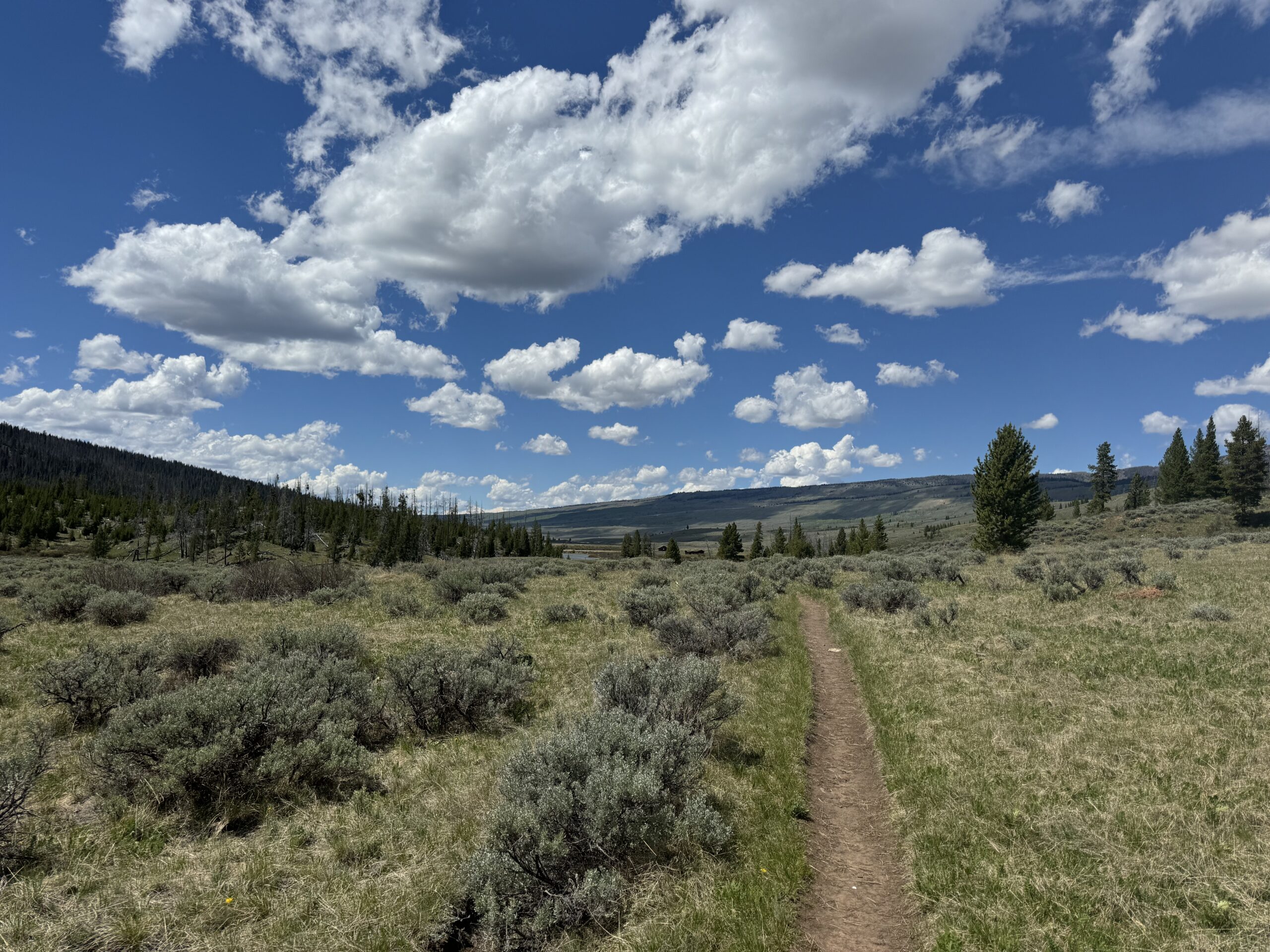
First off, the Wind River Range is a massive, gnarly, and difficult to access mountain range, hence not a ton of information on ‘day hikes’. Grizzly bears, wolves, mountain men, hunters, mountaineers, Wyoming’s highest peak, glaciers, the continental divide, wilderness….The Wind River Range is no joke. Here are the stats…
The links in this article are amazon affiliate links, meaning any purchases through these links will support me and my website with a percentage of the sale
Wind River Range Statistics and Facts
- 2.25 million acres
- 80 miles long on the continental divide
- 63 glaciers, 7 of the 10 larges in the lower 48
- Headwaters of three major drainage systems, the Wind-Missouri-Mississippi, Snake-Columbia, and Green-Colorado drainages
- Wyoming State highest peak, Mt. Gannett 13,804′
- Two national forests, three wilderness areas, one Native American reservation
- Over 2,000 lakes
- Over 40 named mountain peaks over 13,000 feet
West Side Trailheads- Wind River Range
Phew! So you know it’s huge, remote, and not easily accessible. From the west side, which is the side with the most commonly used trailheads, there are a few different ways to access the winds. I’ll start from north to south-
- Upper Green River Lakes Trailhead: a remote drive on a dirt road about 2-4 hours from Pinedale town (depends on road conditions and vehicle)
- New Fork Canyon Trailhead: about 1 hour from Pinedale
- Elkhart Trailhead: 30 minutes from Pinedale
- Boulder Lake Trailhead: 40 min from Pinedale
- Scab Creek Trailhead: 1 hour from Pinedale
- Big Sandy Trailhead: 2-3 hours from Pinedale (depends on road conditions)
Best Hiking Maps of the Wind River Range
Affiliate Links (purchase through these links gives me a percentage of the sale)
Top Day Hikes in the Wind River Range- North to South
The titles of these hikes are connected to other websites with great photos and info of these trails! Check them out.
-
Upper green river lake Loop trail
- Distance: 10.6 miles around the lake
- Difficulty: easy
- Elevation: 8,040 feet start with 90 feet elevation gain
- Average Time: 6+ hours
- Features: Gorgeous mountain views, isolation, lake, swimming, river
- Alternative Routes: keep going up the upper green river canyon, or an out and back on the west side of the lake instead of going all the way around in the trees on the east since there is a lot of downfall on that side (my personal choice)
- Notes: Great place for fishing and camping up there
- Season to hike: Snow and weather limit when you can access this. Snow is usually clear around here by June 1st. Typically ends around October 31st
-
New Fork Canyon Out and Back Trail
- Distance: at least 3 miles to the mouth of the lake, go as far as you want up the canyon (don’t forget you have to hike back though) I like going up to the wilderness boundary about 3 miles into the canyon from the trailhead so I usually do about 6 miles.
- Difficulty: easy/ medium
- Elevation: 7,895 start, up and down 500 feet and up up up if you keep going up the canyon far enough you get to mountain passes over 10,000 feet but that is more of a backpacking trip!
- Average Time: +-4 hours
- Features: Gorgeous lake, river, mountains, animals. It is national forest until the wilderness boundary so there are free range cattle here in the summer
- Notes: Grizzly bear country.. as is all the wind river range, but particularly here I really feel the presence (plus saw a massive track in the mud once) so have your bear spray in hand.
- Season to hike: I’ve been back here as early last April 20th. depends on the snow! Typically done around November 1st
-
Elkhart Trailhead Sacred Rim Out and Back
- Distance: 3.3 miles
- Difficulty: medium
- Elevation: 554 foot gain at 9,350feet start
- Average Time: 3 hours +-
- Features: Amazon views, creeks, wildlife
- Alternative Routes: Photographers point, stay on pole creek trail 9.2 miles out and back, similar views longer trailer
- Season: Snow limits access until around June 1st
-
Half Moon Lake Shore Out and Back
- Distance: 5.5 miles Lodge trailhead to lake inlet mouth
- Difficulty: Medium
- Elevation: 7,600 feet +- 200 feet elevation gain and loss along lake shore
- Average Time: 3 hours
- Features: gorgeous lake, fishing, cactus, heat, wildlife, river inlet
- Season: Anytime! Bring your snowshoes in the winter
-
Boulder Lake- Blueberry Lake Out and Back
- Distance: 5 miles
- Difficulty: Hard
- Elevation: 7,300 feet + 1,289 feet gain
- Average Time: 4 hours
- Features: Difficult climb, gorgeous valley views, lots of juniper trees and boulder formations, cactus, heat, lake
- Season: May 15th- October 31st snow dependent
-
Big Sandy Lake Out and Back
- Distance: 10.9 miles
- Difficulty: Easy
- Elevation: 9,085 feet + 889 feet gain
- Average Time: 6 hours
- Features: swimming, nice big lake, big mountains views!
- Season: June 1st- October 31st snow dependent
Packing List for Day Hikes in the Wind River Range
Sometimes, you go for a day hike, and accidentally end up spending the night in the wilderness with grizzly bears, LOST. Best you wish you had that extra granola bar you left at home since you were only going on a ‘day hike’!
- Bear Spray- It’s grizzly bear country, and black bears, and wolverines, and moose. Bear spray really only works for the bears, but I feel better knowing I have it.
- Knife- For the wolverines and moose
- First Aid Kit- I once fell on a 3 mile out and back trail without ANYTHING. like no backpack, nothing….I was bleeding profusely out of my knee cap and a stranger who was prepared with bandages gave me first aid supplies… If not for yourself, maybe you will end up helping another dummy hiking without supplies.
- Good Hiking Boots– I saw a guy hiking barefoot to big sandy lake… Don’t be a hero… wear shoes.. this is literally granite rock country and I don’t want to picture the guys feet after that hike.
- Water and more than you think and water filter- You need a filter to drink the water out of the lakes and streams. This is high altitude terrain and you get dehydrated way faster than you think
- Sunscreen- high elevation= bad sunburns that happen FAST
- Long Pants and Long Sleeves- The mosquitos and sun here are next level. The only way to truly avoid them is to cover as much skin as possible. I like sun hoodies and hiking pants
- Bug Net- if the bugs drive you crazy use one!
- Bug Spray- honestly the bugs are so bad in these parts the spray doesn’t really work, but its worth a shot
- Hat- The sun, is intense….
- Trekking poles- The terrain here is super rocky. Trekking poles help a lot
- Food- You need it to survive
- Satellite phone- You won’t have phone service out here and sat phones have saved 1,000s of lives…You can rent one of these from the local gear shop
Hiking Pinedale Wyoming Local Resources
Check out the Great Outdoor Shop and Two Rivers Fishing Co. Local companies who know what they are talking about because they actually go out and hike and are on the rivers in the area.
Leave a Reply